 copyright: alphaspirit - stock.adobe.com
Numbers, Data, Facts
This page was translated from German using artificial intelligence. The translation may contain errors or inaccuracies. In case of doubt, the German original version prevails.
Population in Oberbergischer Kreis
Municipality
Residents
City of Bergneustadt
18,628
Municipality of Engelskirchen
19,737
City of Gummersbach
51,290
City of Hückeswagen
14,480
Municipality of Lindlar
21,836
Municipality of Marienheide
13,356
Municipality of Morsbach
10,555
Municipality Nümbrecht
17,580
City of Radevormwald
21,565
Municipality of Reichshof
18,728
City of Waldbröl
19,795
City of Wiehl
25,164
City of Wipperfuerth
21,604
Total
274,057
As of 31.12.2024 Statistics.NRW
More about this
Dams
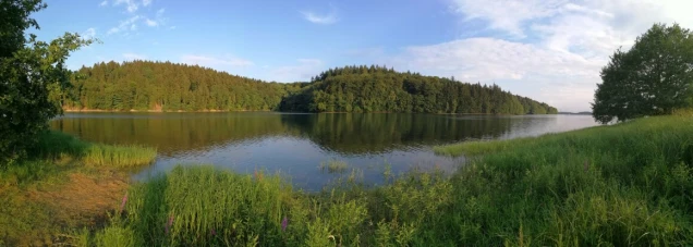
Dams
In Oberbergischer Kreis, there are ten large dams. The largest is the Wiehltalsperre with approximately 31.5 m³ of water.
Mountains
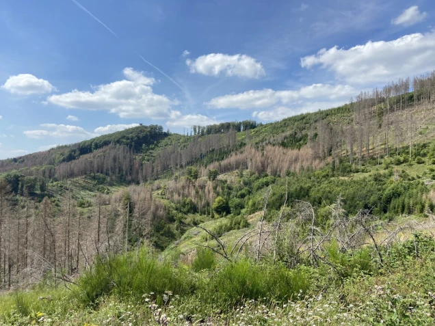
Mountains
Highest elevations (above NN):
- Homert (Gummersbach): 518 meters
- Silberkuhle (Reichshof): 515 meters
- Unnenberg (Marienheide): 506 meters
Territorial Reform 1975
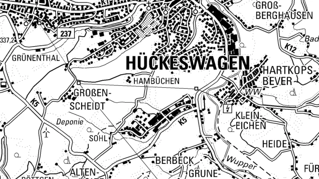
Territorial Reform 1975
On November 5, 1974, the state government of North Rhine-Westphalia decided on the reform for the Cologne area – the so-called Cologne Law. The previous administrative districts were too small to be efficient, so they were merged into larger units. The law came into effect on January 1, 1975. Since then, Oberbergischer Kreis has comprised 13 cities and municipalities.
Before the reorganization in 1975, the district area consisted of four cities (Bergneustadt, Gummersbach, Waldbröl, and Wiehl) and six municipalities (Gimborn, Marienheide, Morsbach, Nümbrecht, Reichshof, and Ründeroth).
Engelskirchen, Lindlar, and Wipperfürth from the Rheinisch-Bergischer Kreis as well as Hückeswagen and Radevormwald from the dissolved Rhein-Wupper-Kreis were incorporated into Oberbergischer Kreis.
The municipality of Gimborn was divided among several locations: Engelskirchen, Gummersbach, Lindlar, and Marienheide. The municipality of Ründeroth was mostly assigned to Engelskirchen, with a small part going to Wiehl.
Coat of Arms of Oberbergischer Kreis
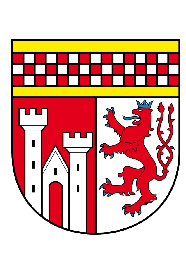
Coat of Arms of Oberbergischer Kreis
The coat of arms of the district shows under the golden chief shield a bar checkered in red and silver in three rows, split from red to silver.
In front, a silver castle with a tall three-windowed left crenellated tower and a lower two-windowed right crenellated tower, a gabled house with an open red gate and black gable window flanking it.
Behind, a two-tailed blue-crowned, blue-tongued, and blue-armed red lion.
The elements of the coat of arms recall the former territorial dominions. The checkered crossbar represents the County of Mark, the towers represent the Lordship of Homburg, and the lion represents the Lordship of Berg.