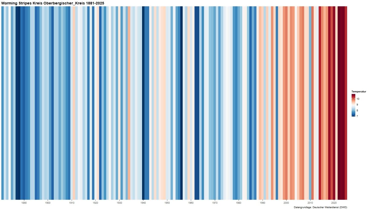
 copyright: Grafik: LANUK NRW, Datengrundlage: Deutscher Wetterdienst (DWD)
KWAK
This page was translated from German using artificial intelligence. The translation may contain errors or inaccuracies. In case of doubt, the German original version prevails.
Resolution and Implementation
Adoption of the Overall Concept
The district council of the Oberbergischer Kreis adopted the Intermunicipal Climate Change Adaptation Concept Oberbergischer Kreis on October 2, 2025.
Implementation of Initial Measures
The district council has decided on the following three initial measures as the first implementation package:
- Awareness-raising and consulting for businesses
- Training series on various topics of climate change adaptation in urban planning
- Awareness-raising and activation of the population in the Oberbergischer Kreis
On January 15, 2026, the kickoff event for the implementation of the Climate Change Adaptation Concept took place. The results of the concept were also presented to the public.
Further information can be found in the press release Oberbergischer "Climate Summit": Diverse district event received great interest.
Content
Within the framework of the concept, the following questions, among others, are considered:
- How do increasing summer heatwaves affect human health?
- How can a drinking water supply be ensured during dry periods?
- What impacts do extreme weather conditions have on our agriculture?
- How do climate changes affect biodiversity?
- What impacts will extreme weather events have on production and distribution in commercial and industrial enterprises?
- How will the increase in hot days affect work productivity?
- What contributions can urban planning make?
- What role does landscape planning play?
Action Fields
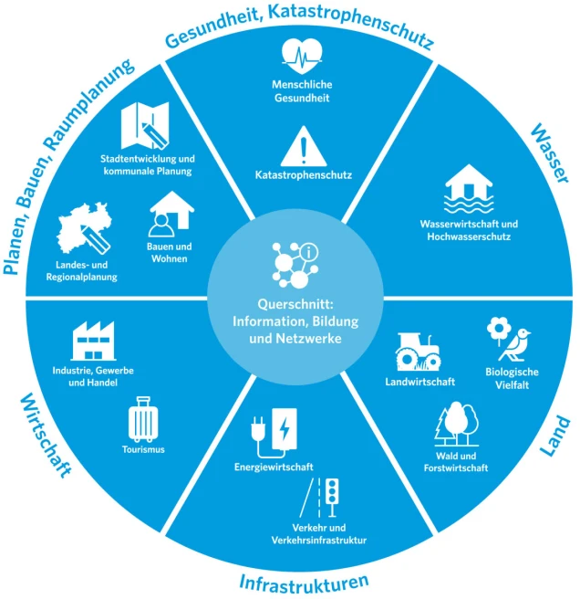
During the development of the concept, 14 action fields in seven clusters are considered. These are presented here with thematic examples.
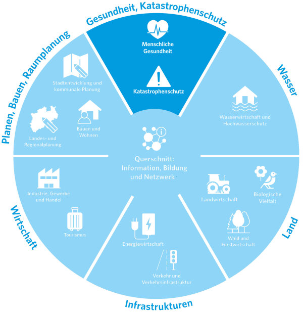
Human Health
- Vulnerable population groups and demographic development
- Climate change-related health risks due to heat, cold, extreme weather
Disaster Protection
- Damages caused by extreme weather events
- Equipment of the „blue light organizations“ (fire brigade, THW, DLRG, rescue service, etc.)
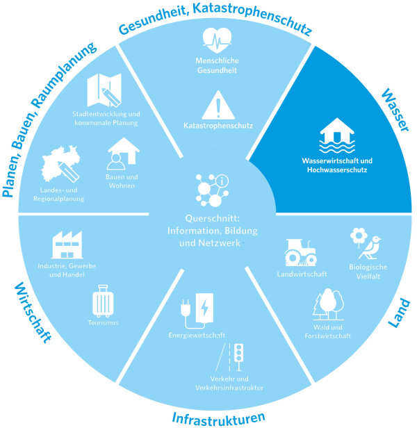
Water Management and Flood Protection
- Drinking water supply and quality
- Flood protection: Dealing with more frequent and potentially extreme floods
- Heavy rainfall and soil erosion
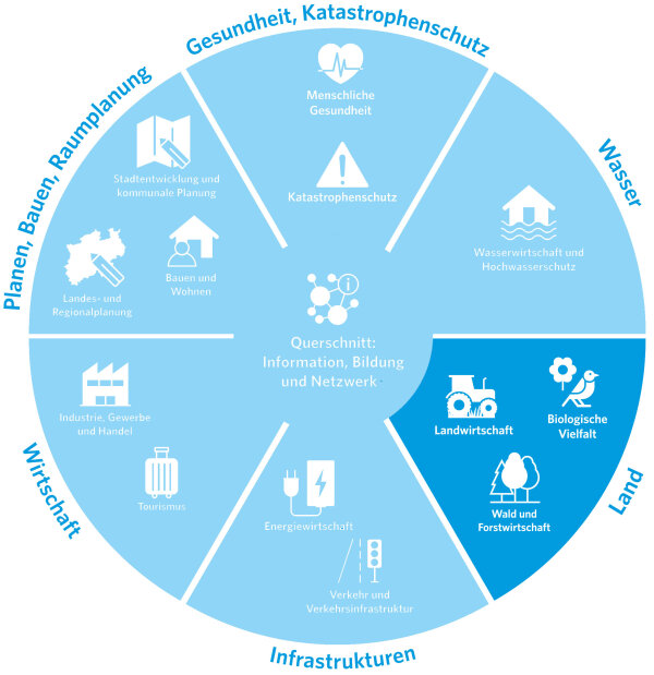
Agriculture
- Heavy rain and soil erosion
- Risks from drought and heat periods
Forests and Forestry
- Resilient forests
- Dealing with damaged wood
- KWAK - Biological diversity
- Soil quality of habitats, particularly aquatic and wetland habitats as well as forests
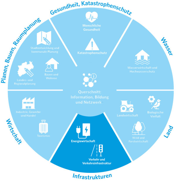
Energy Industry
- Security of energy supply
- Influence of climate changes on the potential of renewable energies
Transport and Transport Infrastructure
- Means of transport and mobility offers
- Sustainability in the construction and operation of transport routes
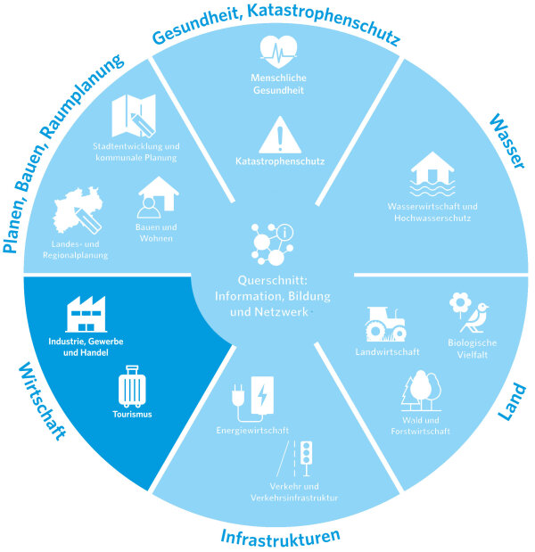
Industry, Trade, and Commerce
- Corporate risk management
- Risks in supply chains
Tourism
- Development and targeted marketing of weather-independent/climate change-adapted offerings
- Visitor management
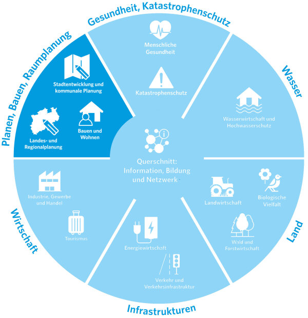
State and Regional Planning
- Impacts of climate change on land requirements, land use competition, etc.
- Instruments for implementing climate adaptation in (spatial) planning
Urban Development and Municipal Planning
- Facade greening, green spaces
- Shading and water in public spaces
Construction and Housing
- Climate-adapted, sustainable building: building planning, construction, architecture
- Adaptation in the building stock: building envelope, building technology, greening
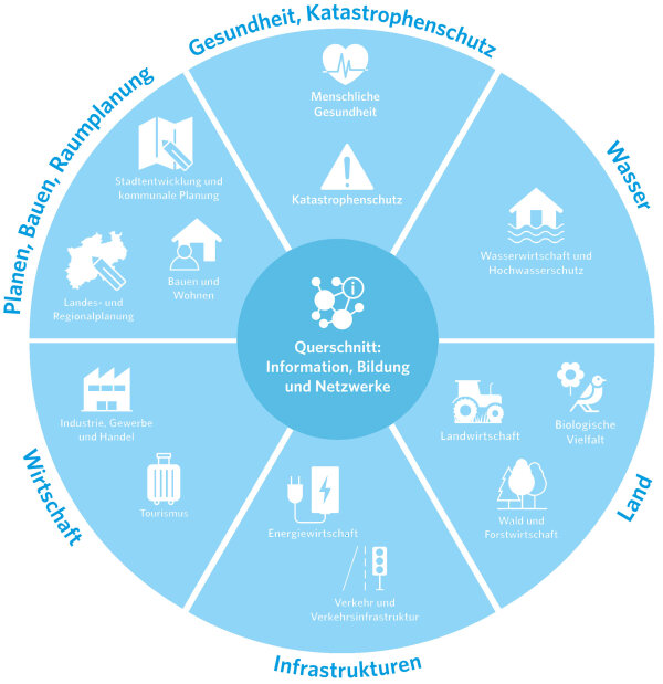
Networking and education in the field of climate change
-
Raising awareness
-
Educational offerings
-
Social cohesion and volunteering
Creation Process
Climate change adaptation addresses the consequences of climate changes that have already occurred and those that are inevitable. Between early 2023 and summer 2025, the Oberberg District developed an action-oriented concept for the 14 aforementioned action areas in a participatory process in collaboration with the municipalities belonging to the district.
The Intermunicipal Climate Change Adaptation Concept of the Oberberg District (KWAK) aims to strengthen resilience in the face of specific challenges and threats, provide solutions and concrete measures, and thus guide the people of the Oberberg District towards a safer and more sustainable future.
Municipal Short Concepts
The initial conditions of the towns and municipalities in the Oberberg District are similar but not identical. To address the specific characteristics of the municipalities and their initial conditions and goals, 13 municipal short concepts address the local situations. These concepts develop focused measures that, from the perspective of the respective municipality, should be implemented as a priority.
The towns and municipalities independently decide on the short concepts. The implementation of the measures outlined therein also lies with the towns and municipalities of the Oberberg District.
Contact
Thomas Groos