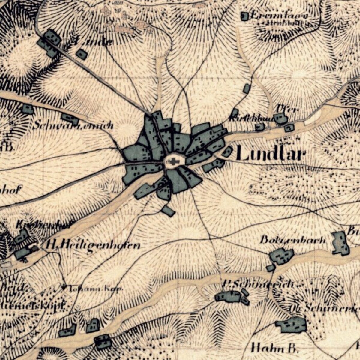
 copyright: Datenlizenz Deutschland – Zero – Version 2.0 (https://www.govdata.de/dl-de/zero-2-0)
Geoportal RIO - Historical Maps and Aerial Images
Historical maps, historical and current aerial images
This page was translated from German using artificial intelligence. The translation may contain errors or inaccuracies. In case of doubt, the German original version prevails.
The application allows you to take a journey through time in the Oberberg District! Look back as far as 1795 with the map of Westphalia. Discover old historical maps and aerial image maps of your hometown directly in your browser.
Maintenance Work
Currently, no maintenance work is planned.
Contact
Information
Fritz-Kotz-Straße 17 a
51674 Wiehl
IT Service
Fritz-Kotz-Straße 17 a
51674 Wiehl