Geoportal RIO Spatial Information Oberberg
This page was translated from German using artificial intelligence. The translation may contain errors or inaccuracies. In case of doubt, the German original version prevails.
RIO-Raum-Information-Oberberg
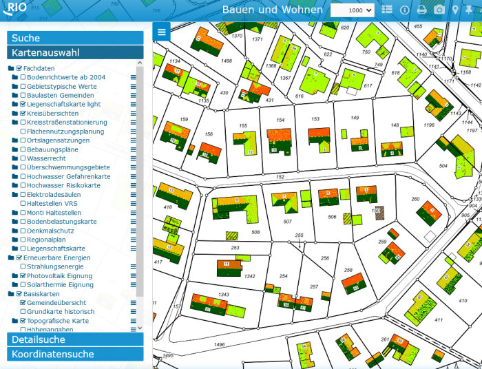
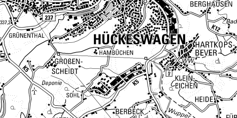
RIO is the geoportal of the Oberberg district, where spatial information is provided and presented to the public. There are various RIO applications structured around different themes (e.g., RIO Leisure and Tourism). Each RIO application contains thematic specialist data that can be displayed and printed based on selection.
Spatially Located:
Nowadays, many pieces of information are linked to a location. This information is then referred to as geoinformation. Geoinformation can be ideally represented in a geographic information system (GIS) like RIO.
Informed:
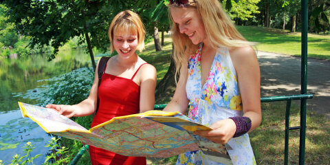
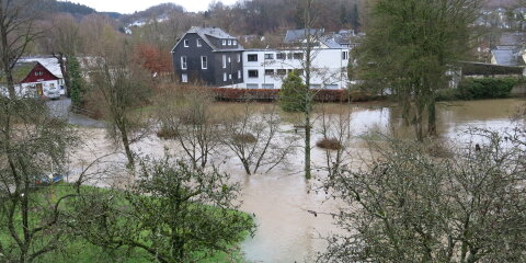
Do you want to build, acquire real estate, get an overview of the surroundings of your place of residence or work, get to know your homeland, plan your leisure time in the Oberberg district, determine coordinates, distances, or areas, estimate the solar potential or the value of your property, find POIs (Points-Of-Interest), and much more?
District-wide:
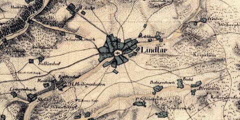
In RIO, all geoinformation available to the district administration is displayed for the 13 municipalities in the Oberberg district, from Morsbach to Radevormwald and from Engelskirchen to Reichshof.
I accept the notes and legal restrictions under RIO Usage Rights and start one of the following applications:





RIO - Usage Rights
General Disclaimer
The data provided here may contain outdated information and is therefore not suitable as a basis for legal transactions or as evidence in proceedings before authorities (e.g., building applications). The Oberbergischer Kreis assumes no liability for the accuracy of the subject data retrievable in the system.
Legally binding information can only be obtained from the responsible authorities.
Information from the map service
For users, the screen display represents a consultation or information from the map service. The retrieval of a free printable view with geodata is therefore only considered as written information and not as an official excerpt.
The provision of geospatial data of the state survey and the land registry is based on §4, paragraph 1 of the Act on State Survey and the Land Registry (VermKatG NRW). The issuance of current official excerpts from the land registry is subject to a fee and is available through the Oberbergischer Kreis, Department of Geoinformation and Land Registry, or the municipalities and other authorized agencies.
Use of geospatial data
In principle, the geospatial data of the state survey and the land registry is subject to the
“Data License Germany - Land NRW (2026) / Land Registry Authority of the Oberbergischer Kreis” (https://www.govdata.de/dl-de/by-2-0 ), unless it involves the use of an official document of the land registry (standard issue or land registry file).
Any use of other print views created from RIO that goes beyond informal purposes is not permitted. However, the Oberbergischer Kreis grants the following general consent:
-
The publication of print views from RIO on websites is free of charge, provided they are static representations of data per website (domain), the website access is free of charge, and a link to rio.obk.de is placed in close proximity to the image. This applies analogously to other media.
The content and structure of the website are protected by copyright; this also includes the use of Web Map Services.
Copyright Notices:
© basemap.de / BKG (Jun 2026)
Federal Agency for Cartography and Geodesy (BKG) on behalf of the states
Topics: basemap.de web services
© District Government Cologne
Zeughausstraße 2-10, 50667 Cologne
Topics: Regional Plan
© Das Bergische GmbH
Friedrich-Ebert-Straße 75, 51429 Bergisch Gladbach
Topics: Hiking map
© Data License Germany - Land NRW (2026) / Land Registry Authority of the Oberbergischer Kreis
Topics: Soil assessment, historical DGK, altitude data, land registry map, light land registry map, aerial images (orthophotos), oblique aerial images, 3D mesh, relief, topographic maps, photovoltaic suitability
© The Appraisal Committee for Property Values in the Oberbergischer Kreis
Fritz-Kotz-Straße 17 a, 51674 Wiehl
Topics: Standard land values
© Land NRW (Data License Germany - Land NRW (2026))
State Office for Nature, Environment, and Consumer Protection of North Rhine-Westphalia
Topics: Flood hazard map, flood risk map, floodplains NRW
© Oberbergische Kommunen
Bergneustadt, Engelskirchen, Gummersbach, Hückeswagen, Lindlar, Marienheide, Morsbach, Radevormwald, Reichshof, Waldbröl, Wiehl, Wipperfürth
Topics: Development plans, monument protection, land use planning, village regulations
© Oberbergischer Kreis
Moltkestraße 42,51643 Gummersbach
Topics: Outpatient care services, pharmacies, assisted living, soil contamination map, federal election 2013, European election 2014, municipal overview, youth welfare offices, kindergartens, district road stationing, hospitals, district council election 2014, district overviews, district administrator election 2015, landscape planning, care facilities, schools, nature and landscape protection areas, water law, wind turbines
© Regionalverband Ruhr and cooperation partners (Data License Germany – Attribution – Version 2.0),
Data sources:
- ALKIS, ATKIS - Land NRW/Land Registry Offices (Data License Germany - Zero - Version 2.0)
- and © OpenStreetMap - Contributors (License:Open Database License)
- Points of Interest (POI) Data License Germany - Attribution - Version 2.0
- Land Use Mapping (FNK): RVR own license
Further information for the Ruhr Area City Map 2.0 can be found here https://hilfe.geoportal.ruhr/spw2-dokumentation/rechte/rechte.html.
Topics: City Map Ruhr Area 2.0
© SGV
Sauerländischer Gebirgsverein Arnsberg
Topics: Other hiking trails
© tetraeder.solr gmbh
Wißstraße 18, 44137 Dortmund
“Data License Germany - Land NRW (2026) / tetraeder.solr gmbh” (https://www.govdata.de/dl-de/by-2-0)
Topics: Solar cadastre WMS
© Touristisches DATA HUB NRW
© Naturarena and content partners
Creative Commons License “CC BY-SA” or “CC BY ND” or “CC0”
Topics: Leisure information
© Zweckverband Naturpark Bergisches Land
Moltkestr. 26, 51643 Gummersbach
Topics: Bergisches Wanderland, bike bus, Nature Park Bergisches Land, RadRegionRheinland, themed bike paths